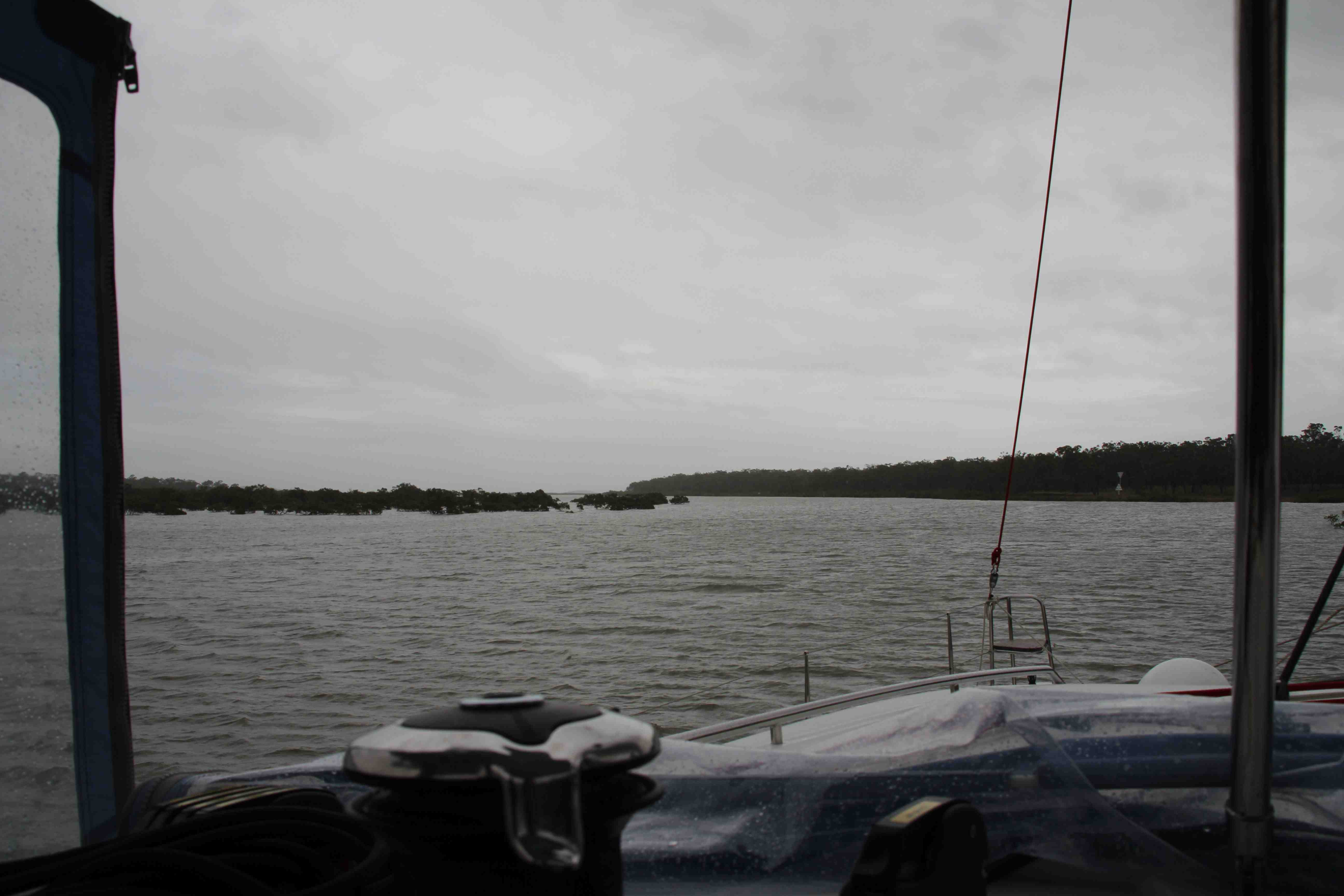
Looks can be deceiving. Beneath the calm waters of The Narrows lurk hidden rocks, shoals and bankings ready to snare the unwary. The channel runs up the western side of Curtis Island to the north of Gladstone and through to Port Alma near Rockhampton. With a strong wind warning outside it was our only option if we wanted to keep moving north. I was apprehensive about sailing up a waterway that goes through green areas on the map – yep, that’s right, over land… But after some prodding from our friend Brett (thank you!!) I did some more research.
Yesterday’s meeting with Pete, he of the proposed knighthood, was serendipitous. He welcomed me into his converted fishing trawler, with its varnished timber and a lifetime of clutter, and then proceeded to point out the highs and the lows – literally – of The Narrows. Nothing fancy just the things I needed to know about the tidal range and most importantly what to expect. Watching your depth sounder countdown to below 1 metre is okay if you’re expecting it – not great but okay.
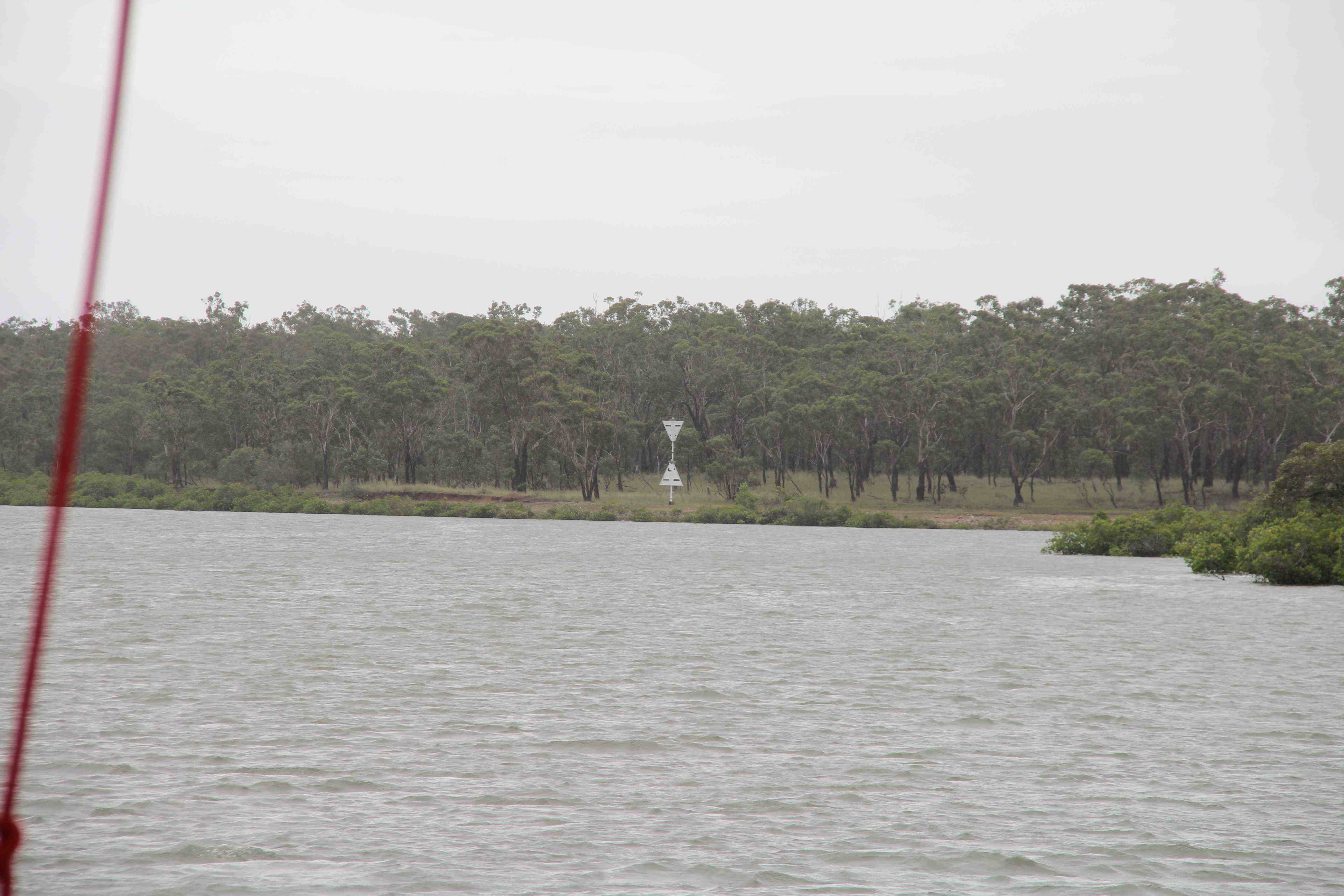
So we dodged the water quality testing buoys, a fisherman who was either very lost or very busy, counted down the marks, ticked off the creeks until finally the first set of leads (or ranger if you’re in the USA) came into sight.

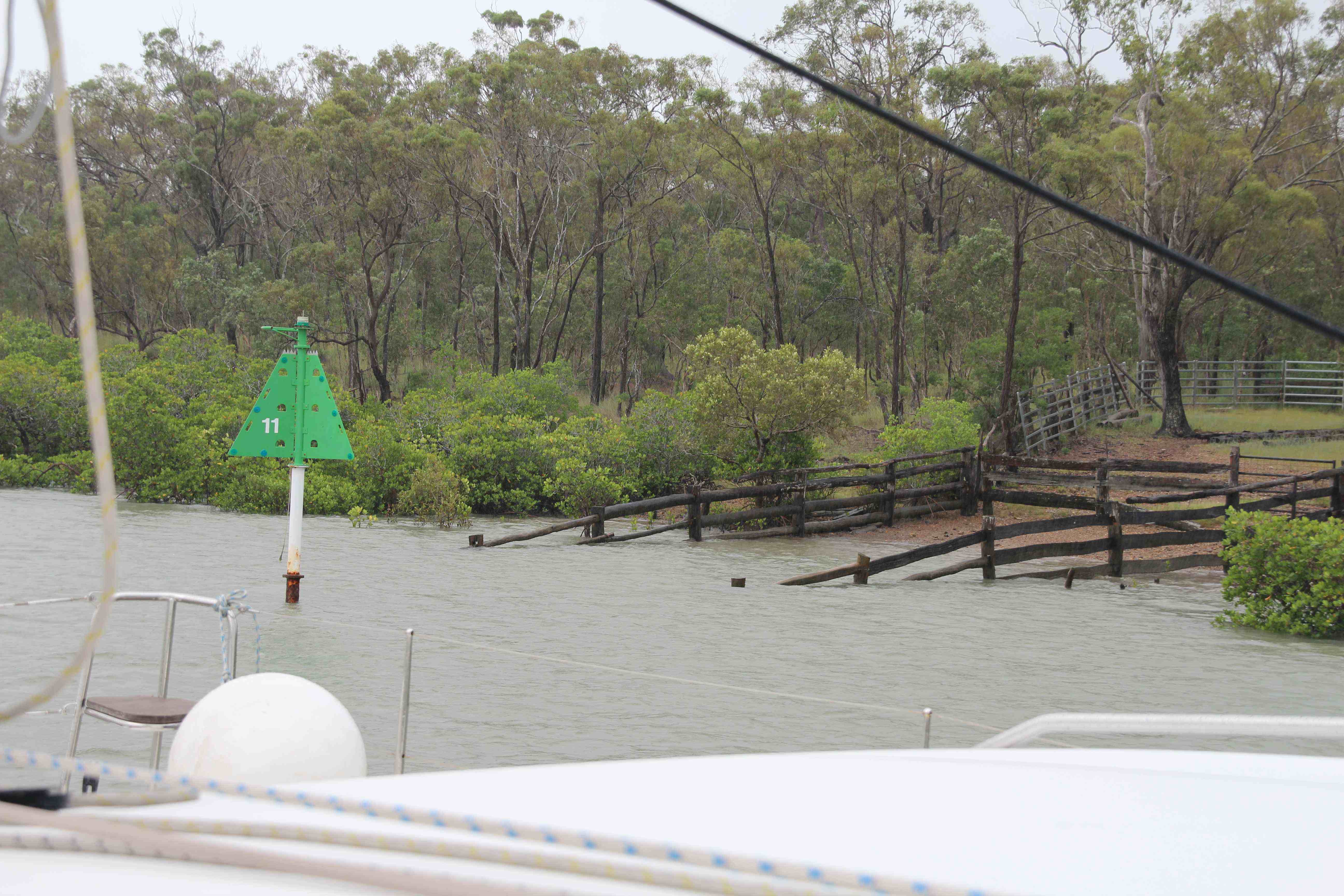
This deceptively simple system ensures you stay on the correct course and out of harm’s way. Often leads or leading lights are used to guide ships into safe harbour and over bars. Today it was all about a cattle crossing complete with railings and ramps.

So the moral of today is any waterway can be safely navigated with the right advice, the correct signage and a little bit of planning.
Kind of reminds me of life really!

This is interesting to me as you got closer to where my mother used to spend time at Casuarina Island. It used to belong to my maternal grandmother’s family. Later it was sold and a woman by the name of Mackellar ran the station helped by my great uncle. It is now closed to public access due to it being taken over by a Japanese company for the raising of Wagygu beef, I believe. It is also crocodile country.
Hi Kathy,
What a wonderful connection with the Narrows. It’s a strange place – a world all of it’s own – and I felt as though I’d stepped back in time as we sailed through. I didn’t realise it was still operational. Thanks for letting me know.
Well that’s not something you see every day – a channel crossing a cattle ramp 🙂
Jo, I get the feeling the locals see it as a bit ho hum but for a couple of novices it certainly made us work for our passage! Weather has done a complete reverse and we’re looking at 10-15 kts for the next few days. We may even be able to launch our gennaker finally!
It was definitely a good feeling to come out the other end, Sandy. We need one of those gadgets you guys have that show the seabed in all its glory – although that might have been even more nerve wracking!!
Well done! Looks like a tricky passage indeed. Hope the weather settles down for you so you can get out on the blue water again. Fair winds.
So glad you managed that successfully! 🙂 You should feel a little more proud of yourselves for that accomplishment. Love the cattle crossing – that’s so Australian.
The weather’s on the improve, Brenda, and I”m optimistic I might even have a photo of a sunrise or sunset to post again soon! Grey dawns just don’t do anything for me 🙂
So glad you’re having lots of help along the way by all the experienced sailors out there 🙂 The weather certainly doesn’t look as nice as it did when you started your trip! Hopefully you will sail out of it 🙂